International Commission for the Protection of the Elbe River ∙ ICPER


Flood Hazard and Flood Risk Maps
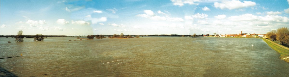
The flood hazard and flood risk maps show the extent of the hazard and the risk due to floods from surface waters and floods from the sea with low, medium and high probability.